Overview
Situation: This goal of this project was to create an app that provides event and location information for attendees, so that they can plan their time and wayfind at the EAA air show event.
Technologies: EAA.org Sitecore-based website provides data to the app via application programming interface (API). The app is implemented using the Cordova Hybrid App Framework, built for Android and iOS platforms.
Special Feature: The app cached a custom map and data from the Sitecore website because the Internet connection at the EAA grounds was not reliable.
App Deployed: July 2014 on Google Play Store and Apple App Store. Still in use today with small updates. The project was implemented in 2.5 months, in time for the 2014 EAA show.
Tools: Axure, Photoshop, Android IDE, Xcode
Personal Involvement: On this project, I performed the discovery, UX/IA, app strategy, BA, and technical architecture for the app. I was the product owner for the project and managed visual designs for the app skins and maps as well as development efforts.
Axure Prototype
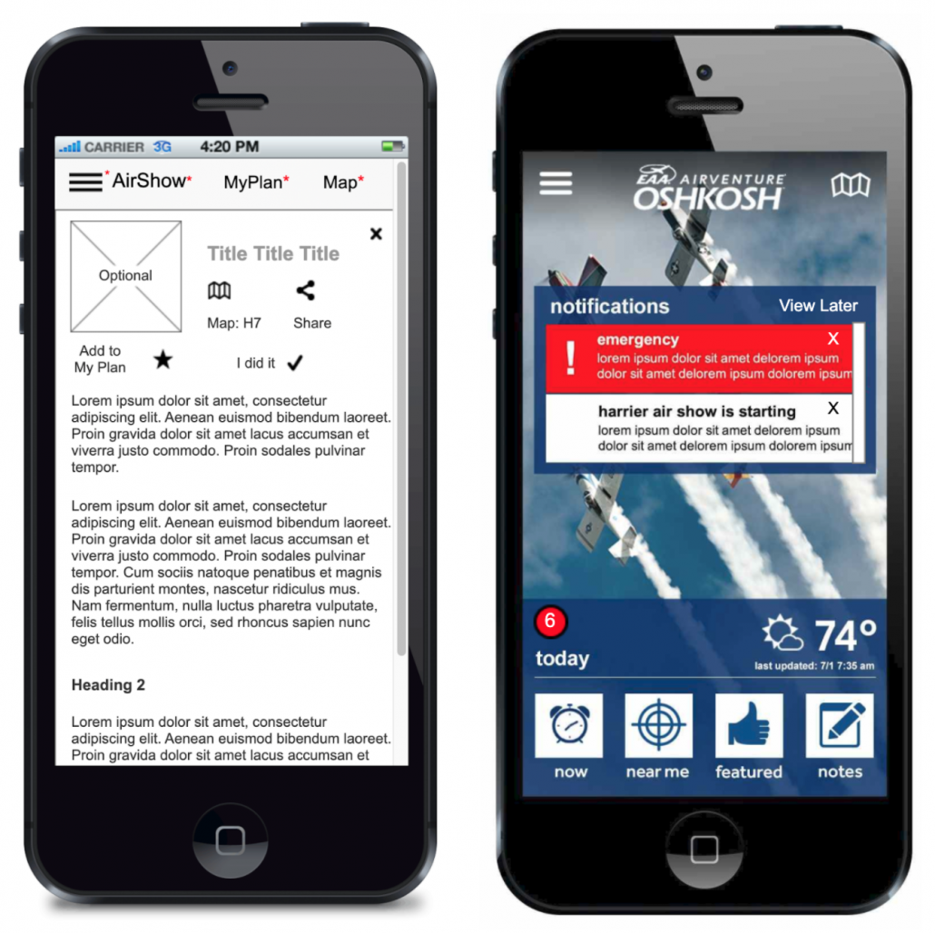
The app was prototyped in Axure. The app transmitted structured JSON data from the Airshow website to fill the various event and resource template pages
Click to view prototypes
The app also supported notifications to alert the visitor to their saved scheduled events and other notifications from the EAA website. Background processes were defined to sync data and get notifications when an Internet connection was available.
Custom AirVenture Grounds Map
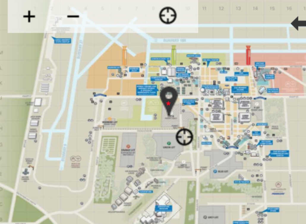
Due to the intermittent Internet connection available on the AirVenture grounds, we could not use Google maps as there was no caching support for off-line usage at that time, so we developed a custom map of the AirVenture grounds for various display resolutions. The Map system supported zooming and map pins to selected events and points of interest.
User Locator and a Pin on custom map of EAA grounds
Incorporation of Visual Design
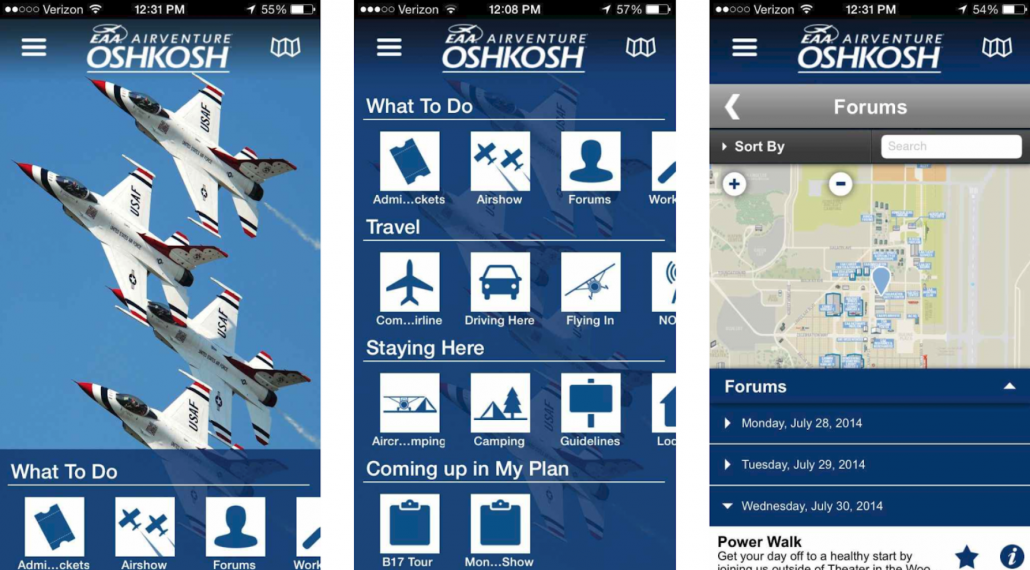
The visual design and iconography was developed and incorporated in the various HTML pages.


